


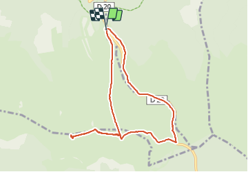

22 km | 32 km-effort

User


FREE GPS app for hiking
 SityTrail
IGN / Geographical institutes
SityTrail World
The world is yours!
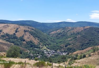
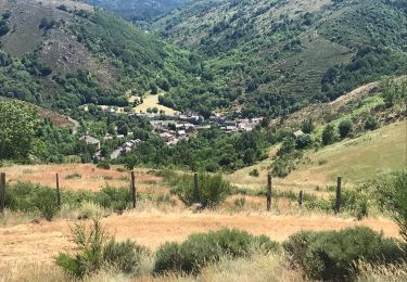
Trail Walking of 9 km to be discovered at Occitania, Lozère, Mont Lozère et Goulet. This trail is proposed by richardsimopons.
Du parking des chômeurs jusqu’au sommet (1699m), retour par le col(G7): agréable parcours.


Walking

Walking
Walking
Walking

Walking
Walking

Electric bike
Walking
Walking